Drawing Tools

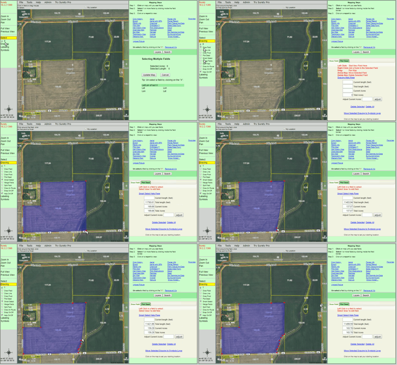
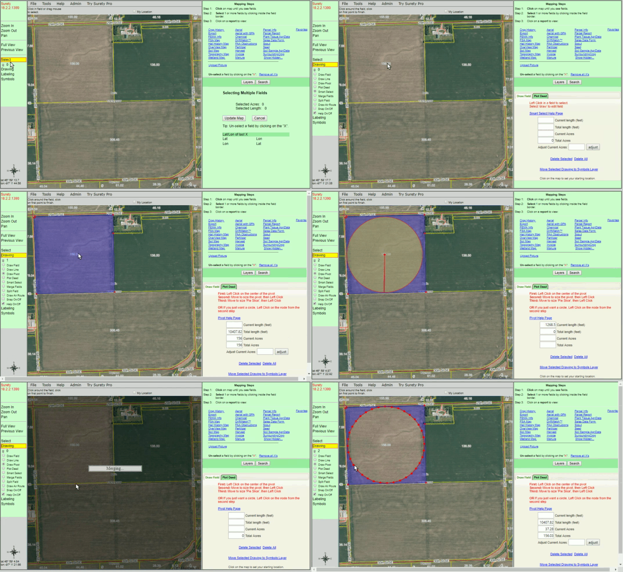
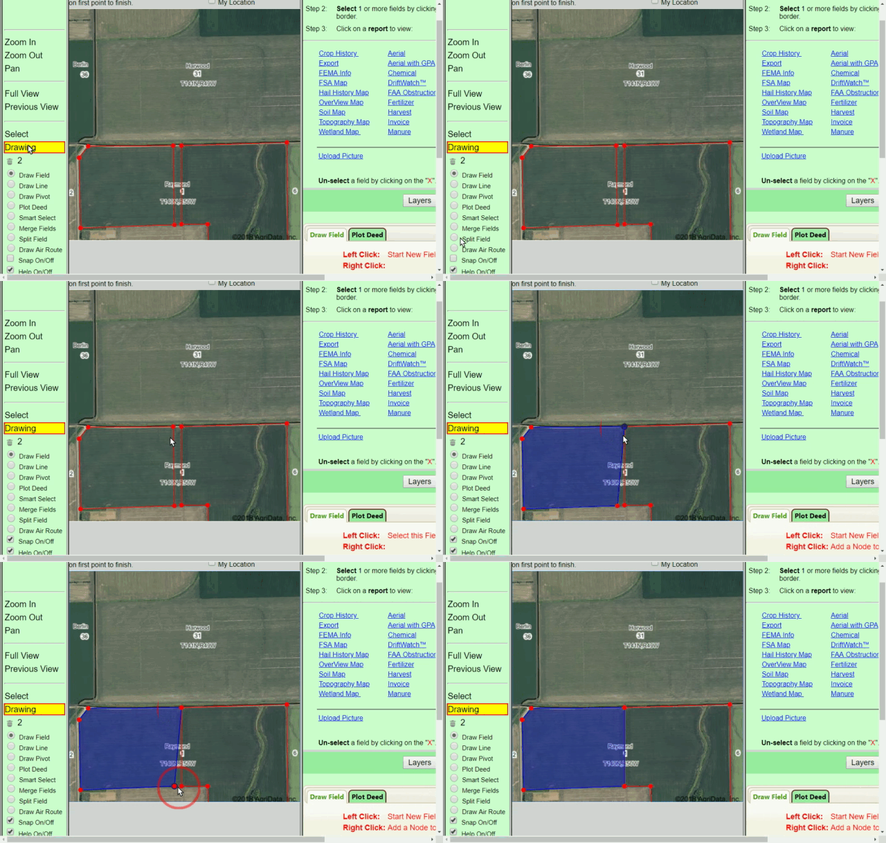
The ability to draw accurate and complex boundaries is the cornerstone to any great mapping program. That’s why we have meticulously developed a powerful set of Drawing Tools to handle any unique mapping situations that may arise. Below you will find a brief description and an example of use of those Drawing Tools.
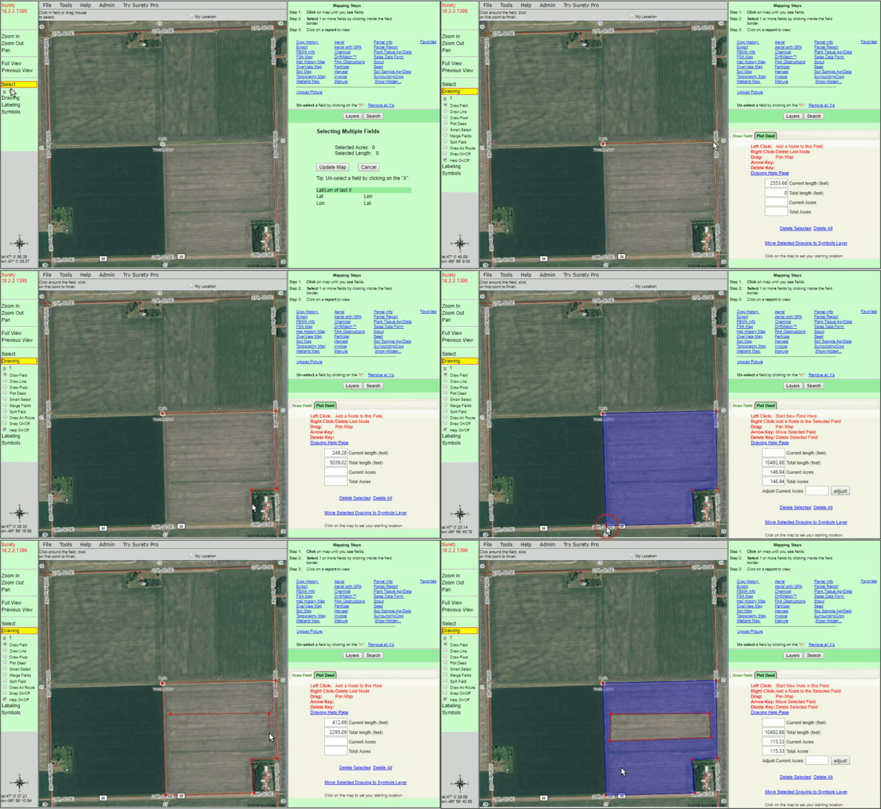
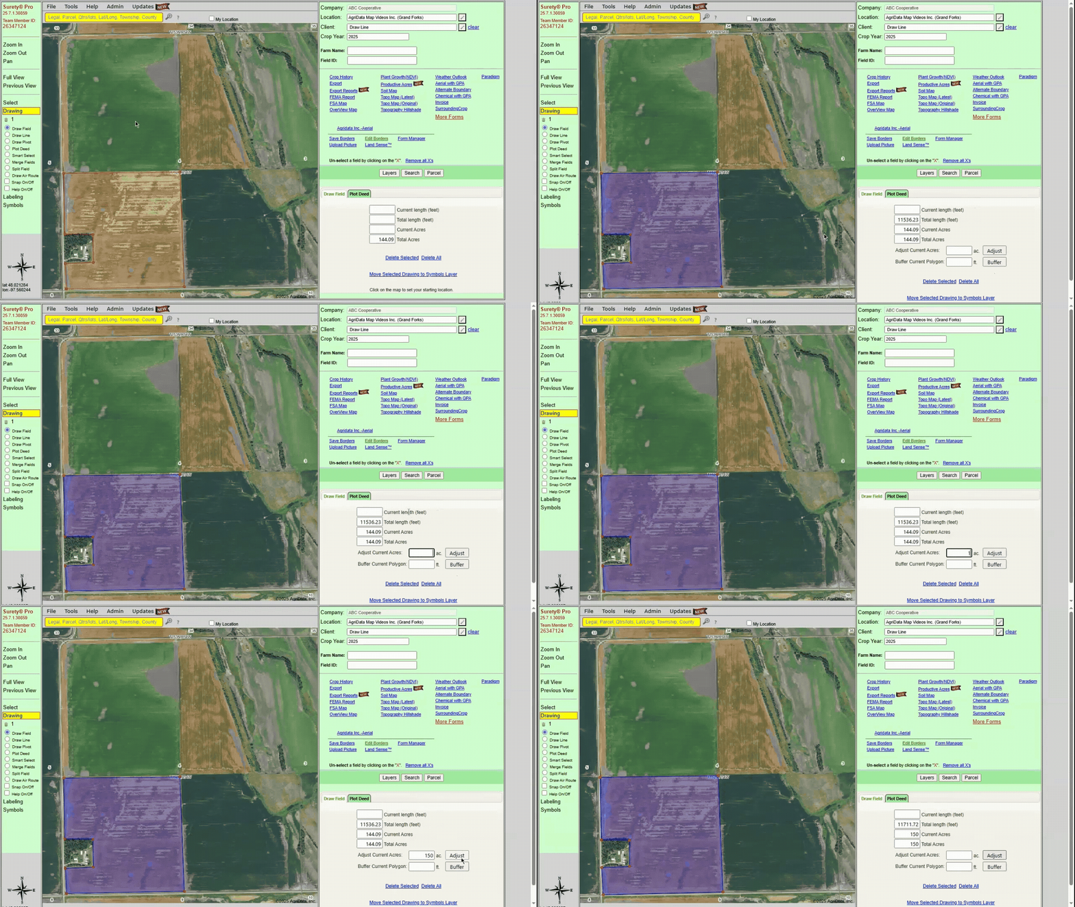
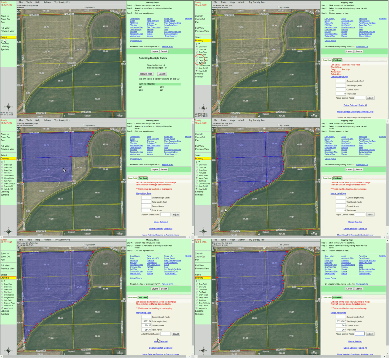
Easily define a polygon boundary with the Draw Field tool. Add, remove, or move points (nodes) on your polygon to create an accurate boundary and precise acreage calculation. The Draw Field tool also has the function of creating exclusions within a polygon to subtract that area from its acreage calculation.

Draw Field Example

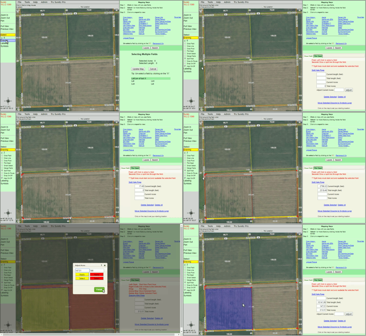
Adjust Acres - Force the boundary to resize to a specific acre amount.

Adjust Acres Example

Buffer Current Polygon - Expand or Contract a boundary a set distance in feet.

Buffer Current Polygon Example

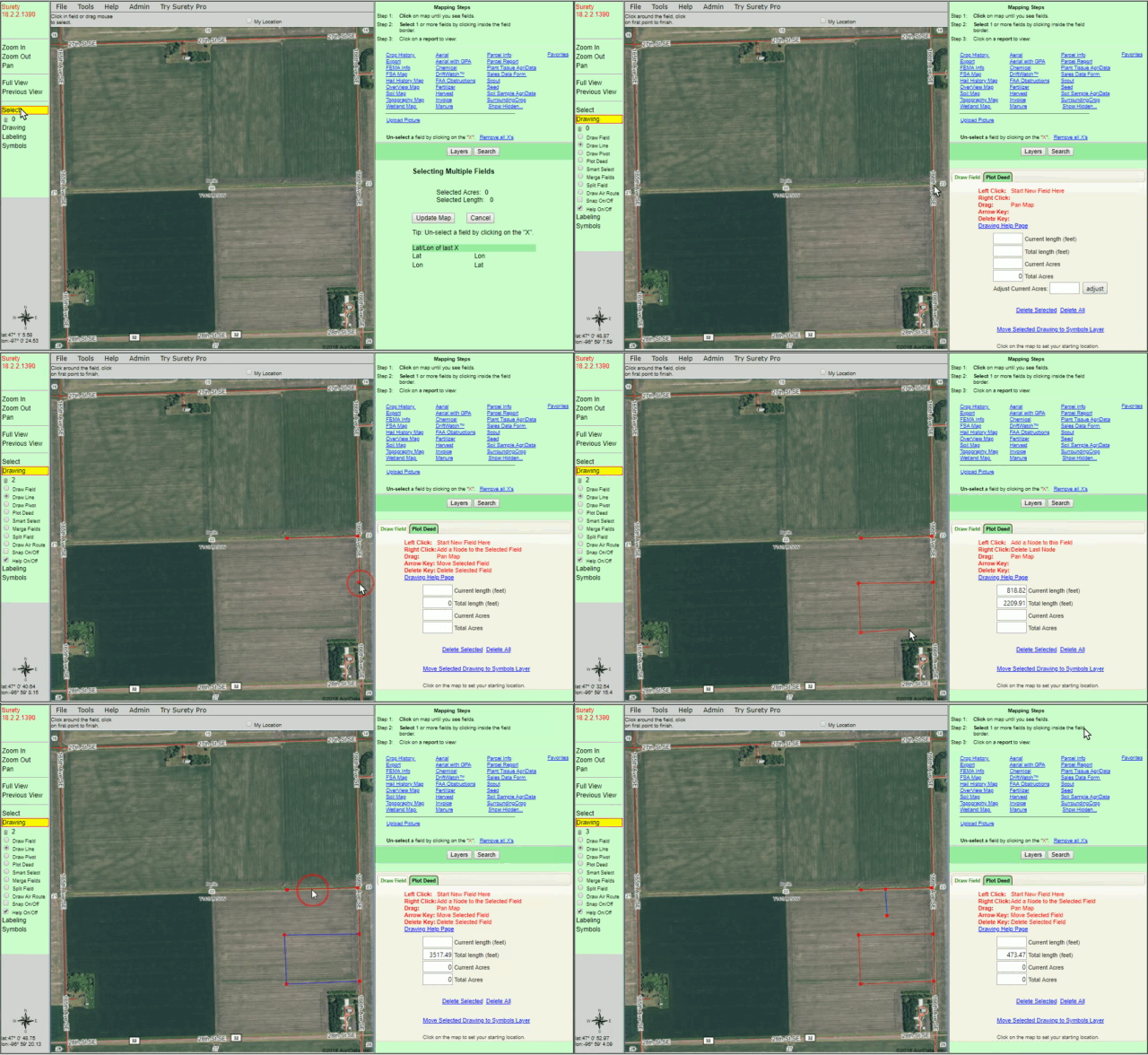
Determine distance between 2 or more points on the map. Display the distance in feet when generating a map or form.

Draw Line Example

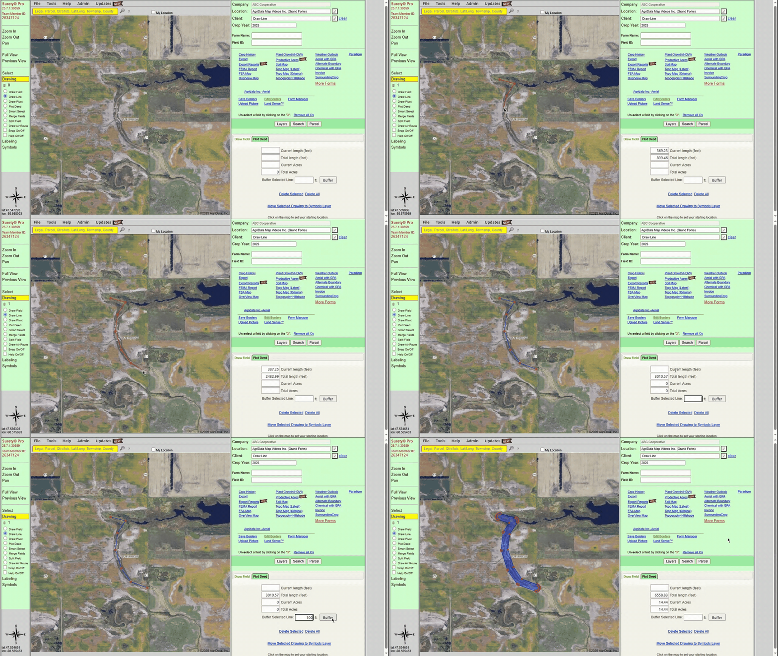
Buffer Selected Line - Type in a distance in feet to add a buffer around a drawn line.

Buffer Line Example


For more information, please Contact Us directly.