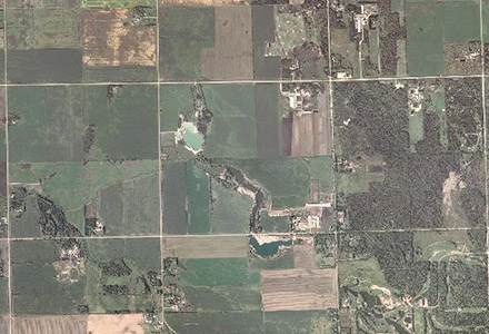
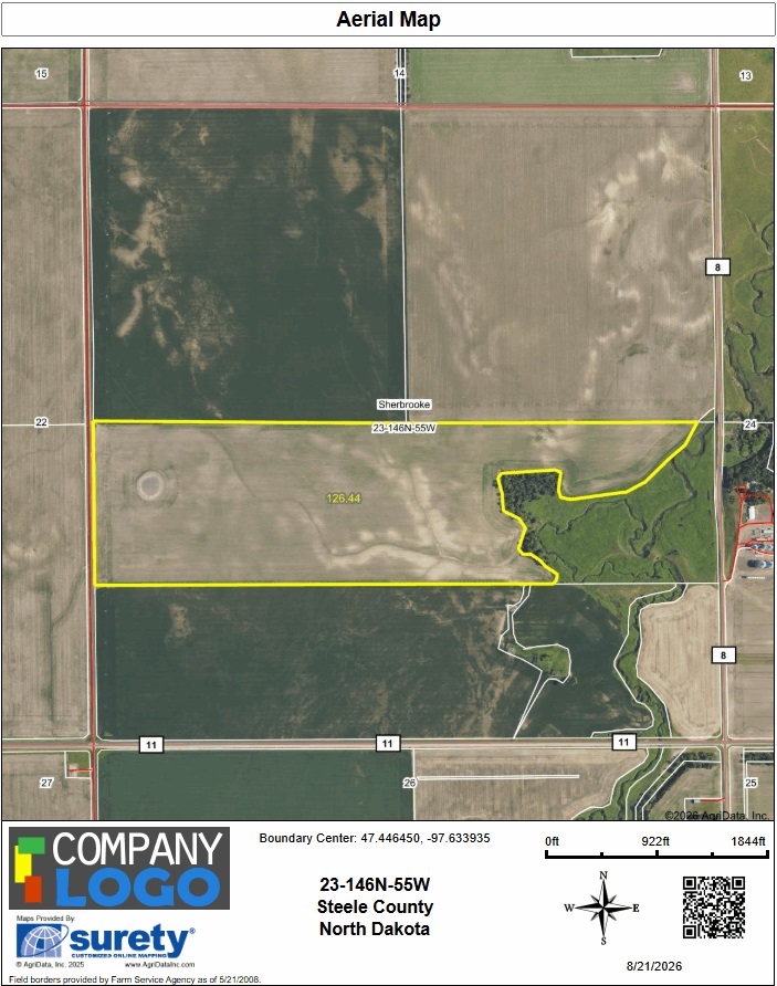
FSA Map
FSA Map is the common name for a report containing a full-page aerial map that highlights defined boundaries and acreage calculations with location information listed at the bottom. It closely resembles the format of field maps provided by Farm Service Agency offices.
Orthophoto or Raster Imagery
Acquired during the growing season, the latest one-meter orthophoto, more commonly referred to as "raster imagery" (or simply imagery), serves as the default visual backdrop throughout the United States. Imagery updates typically occur on a two-year cycle for many, though not all, states. Larger states, such as Texas, may experience longer intervals between imagery updates.
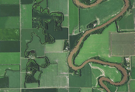
Historical datasets are available for this layer by selecting the desired year from the dropdown list.
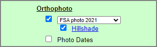
A "Photo Date" layer is also available that displays the specific date the imagery was captured. Knowing the imagery date can be a valuable asset in many different scenarios. This layer is also a useful method for identifying seams between imagery swaths.
Hillshading
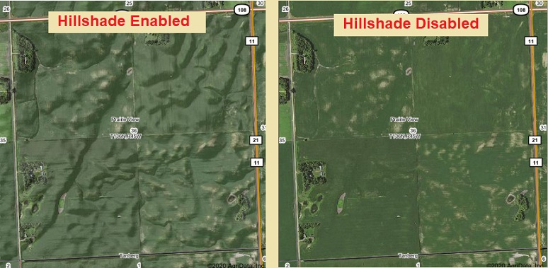
The "Hillshade" layer is an enhancement applied to NAIP imagery. It provides a visualization of elevation changes by adding a shadowing effect.
Canadian Air Photo Mapping Imagery
For the two Canadian provinces we serve (Manitoba and Saskatchewan), the imagery automatically switches to "Air Photo." The imagery generally covers a range of years, such as 2008-2010. Otherwise, the behavior is similar to U.S. imagery, including access to the latest available imagery and the ability to disable the imagery layer.