Export to AgNav, DynaNav, SatLoc®, TracMap, and AgPilotX
Surety® and Surety® Pro are equipped to export boundaries to AgNav, DynaNav, SatLoc® and TracMap consoles. Either it be a shapefile or a specific SatLoc® job file, you can take your job/task boundaries to the field.

AgPilotX® Boundary Export
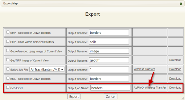
Export and send mapped boundaries as a GeoJson or kml format and upload these boundary files into the AgPilotX navigation software. Link your AgPilotX account as a 3rd Party Vendor and send job files and download log files wirelessly.

SatLoc® .job File Export
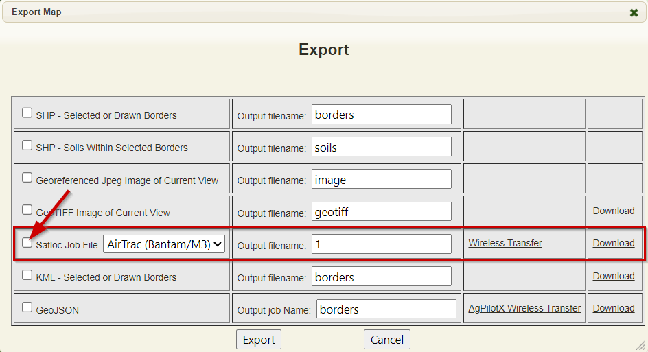
The SatLoc® specific job file format can be exported from Surety® and Surety® Pro either as a downloaded file or if you have a SatLoc® Cloud account, you can link that account to your Surety® or Surety® Pro account for wireless transfer of job files to your aircraft.
Surety® Pro also allows the selection of multiple borders and a batch export of a SatLoc® job file.

AgNav, DynaNav, TracMap Boundary Export
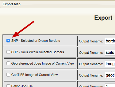
Export boundaries as a shapefile or kml format and upload these boundary files into almost all major navigation systems.