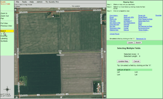
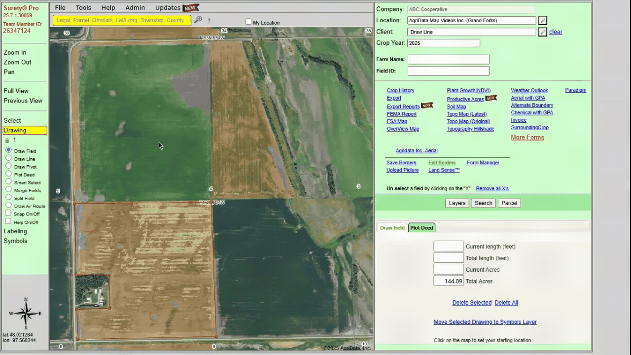
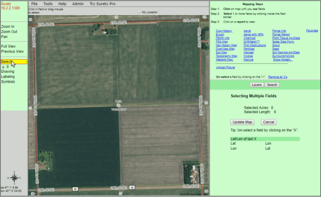
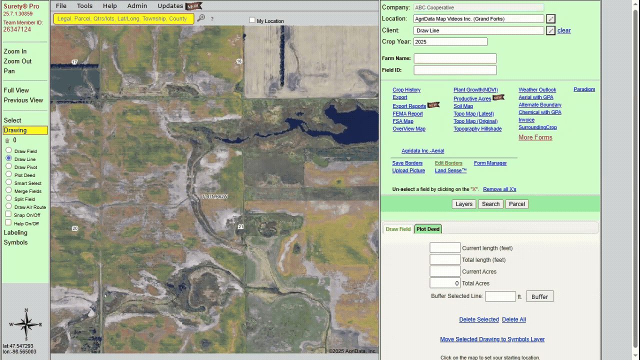
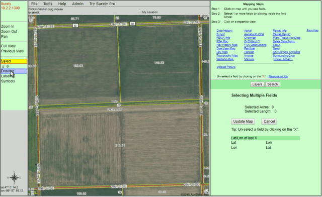
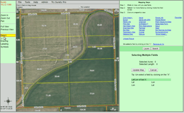
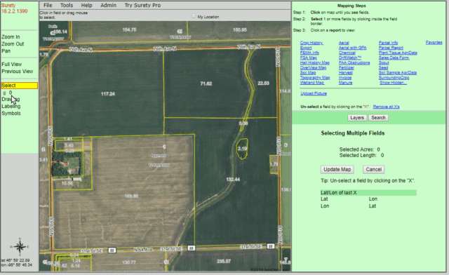
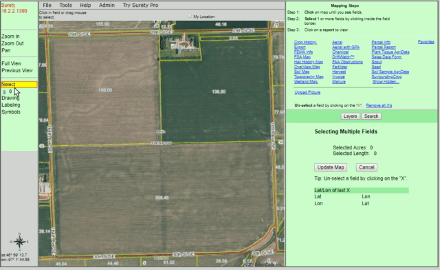
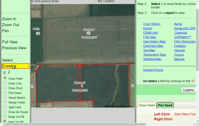
Drawing Tools

The ability to draw boundaries is the cornerstone to any great mapping program. That’s why we’ve meticulously developed a multitude of Drawing Tools to handle any unique mapping situations that may arise. Below you will find a brief description of those Drawing Tools.

Splitting a boundary becomes easy with the Split Field tool. Use this feature to create divisions within a FSA or drawn border, carve out separate acreages, create exclusions, and more. This tool will also adjust each side to a precise acreage amount.

The Snap feature enables two boundaries to automatically “snap” together to eliminate any gaps or overlaps between the two boundaries.


For more information, please Contact Us directly.