Sensitive Areas
Within Surety® and Surety® Pro are included several layers to help with locating sensitive areas, crops and apiaries. They include FieldWatch®, ND Sensitive Areas and MN Buffer Map. You can also create a custom Sensitive Area layer.

FieldWatch®
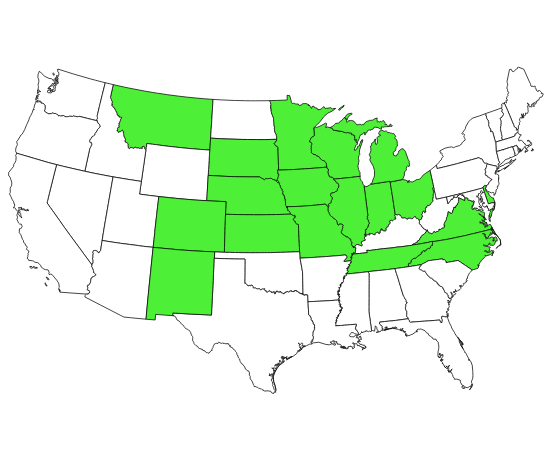
This reliable and accurate mapping layer maintained and provided by FieldWatch®, a non-profit company, provides its members with the ability to view sensitive crop areas and apiaries that have been entered into the FieldWatch® driftwatchTM and beecheckTM. This is a Surety® Pro feature only. Click image to the left for current States participating in FieldWatch®.

North Dakota Sensitive Areas
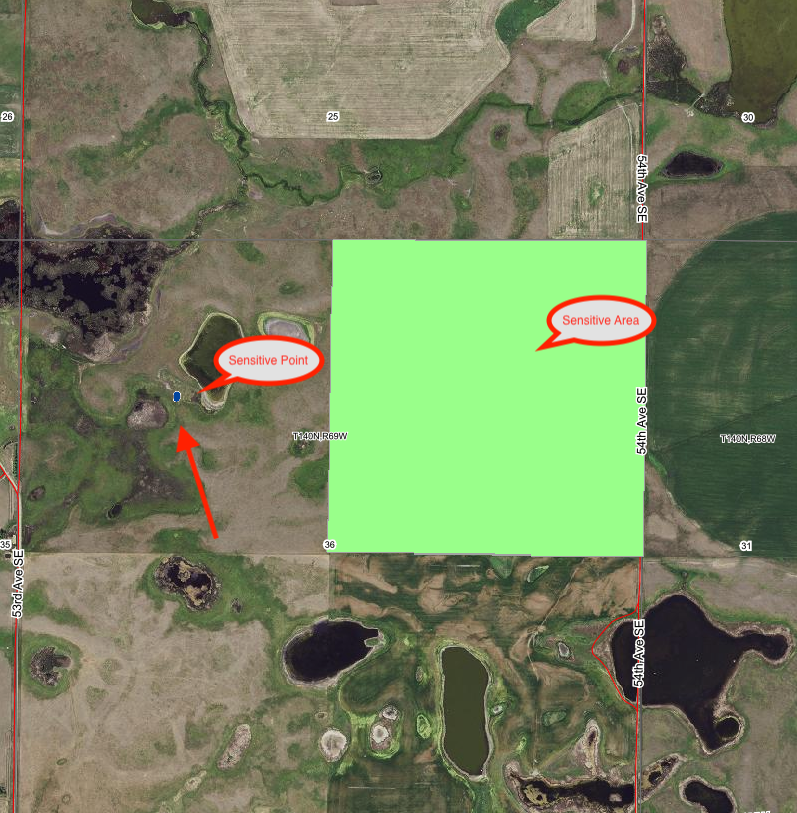
This layer marks the sensitive points and areas within the state of North Dakota. It is maintained by the ND Dept. of Ag. Available on both Surety® and Surety® Pro.

Minnesota Buffer Layer
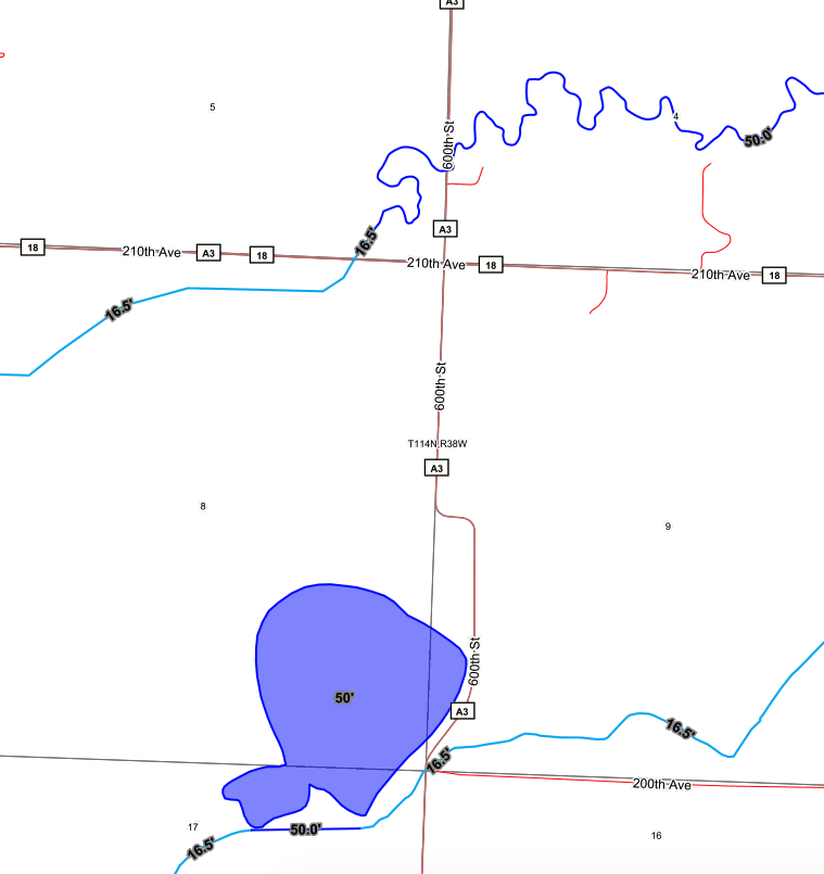
The MN buffer layer shows lakes, reservoirs, wetlands and watercourses and the needed buffer for each with regards to perennial vegetation strips. This is maintained by the MN Dept. of Natural Resources. Available on both Surety® and Surety® Pro.

Custom Sensitive Areas
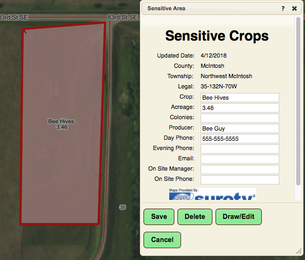
Create your own sensitive areas layer by selecting or drawing your area of interest and choosing the Sensitive Area form to fill in relevant information. Available on both Surety® and Surety® Pro.